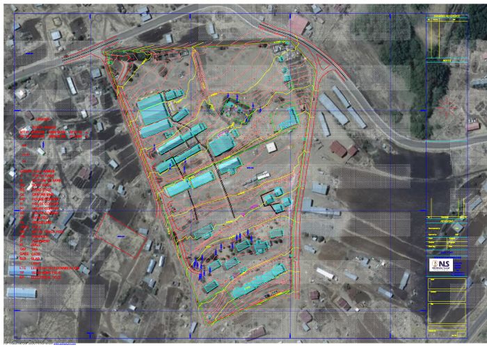
A Topographic Survey is a survey that gathers data about the elevation of points on a piece of land and presents them as contour lines on a plot. The purpose of a topographic survey is to collect survey data about the natural and man-made features of the land, as well as its elevations Topographic surveys are often the initial survey done when a project is started. It is the spatial recording of all information that could be relevant to the design and construction of the project. The information often includes contours, roads, buildings, vegetation, services, etc.
What we offer?
- Contour survey and maps.
- Site surveys.
- As-built surveys.